OpenOrienteeringMap version 3 now available
We are pleased to report that OpenOrienteeringMap version 3 - which was partly funded by an Orienteering Foundation grant - is now available.
Earlier this year the Orienteering Foundation made a grant to Oliver O'Brien towards producing a new version. This popular mapping tool is used by dozens of clubs, groups and individuals to create simple maps, using freely available mapping data, which is perfectly adequate for club training and low key events.
A full list of changes and enhancements can be found here. These include:
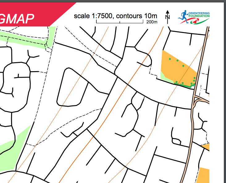
- The PDFs produced are higher quality and more detailed.
- Previously, a number of features (trees, fences, cliffs etc) were shown as raster images, which looked OK on the screen but were blurry and low-resolution when printing as a PDF. Orienteers demand sharp, crisp maps and by using a new technique this can now be accomplished.
- New features have been added, such as benches and picnic tables as crosses on the map.
- JPEGs and “geolocation” worldfiles can be produced.
- There is a new mapping style, “BluePrint” which is intended as a “colouring in” style map for orienteers and others.
We are very grateful to Ollie O'Brien who has updated the website to include links to the Orienteering Foundation, and all maps produced on OOMap now include the Orienteering Foundation logo and a text credit. In return we'd encourage orienteers and clubs to take a look at what OpenOrienteeringMap can offer, if you aren't already using it.
